January 30, 2024
The Bureau of Meteorology has warned that the heavy rainfall which caused flash flooding – and severed several roads – across parts of the South Burnett on Monday evening could reoccur on Tuesday.
At 11:16am on Tuesday, the Bureau said a surface trough over south-east Queensland was expected to sharpen then gradually move north overnight, potentially deepening into a low-pressure system around Hervey Bay.
Heavy rainfall which may lead to flash flooding was forecast for areas north and east of Dalby, and east of Gayndah.
A spokesperson said six-hourly rainfall totals of between 80mm to 150mm were likely.
However, locally intense rainfall – with six-hourly totals of up to 250mm – was also possible.
This could lead to dangerous and life-threatening flash flooding.
Locations which could be affected included Kingaroy, Gympie, Caboolture, Bundaberg, Maroochydore and Redcliffe.
The storms on Monday evening prompted the South Burnett and Cherbourg councils to issue an emergency “watch and act” alert to residents at 8:00pm, urging people to stay indoors.
Automatic emergency alerts sent to mobile phones told people to stay off the roads: “Do not drive unless necessary”.
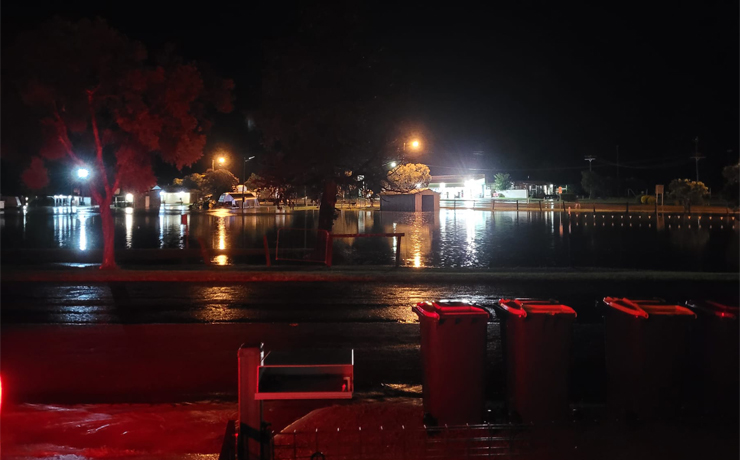
Flash flooding caused issues on the Burnett Highway at Goomeri on Monday night as well as the Bunya Highway near Wondai.
There was also flash flooding on Kingaroy-Barkers Creek Road and Kilkivan-Tansey Road.
Other areas to be affected by road closures included Wheatlands, Wilkesdale, Cloyna, Silverleaf, Greenview, Mt McEuen, Ficks Crossing, Wattle Camp, Redgate, Moffatdale and Inverlaw.
The usual flash-flooding locations in Kingaroy were also affected, including portions of River Road, First Avenue and Somerset, Pound, Belle and North streets.
* * *
For the latest information about road closures across Queensland, visit the Queensland Traffic website
Local councils also publish information on their individual Disaster Dashboards:
Also, check out out South Burnett Online’s weather page which includes links to several handy resources.
* * *
The Toowoomba Local Disaster Management Group has made sand available for Toowoomba Regional Council residents at various locations.
LDMG chair Mayor Geoff McDonald said residents would need to bring their own sandbags and shovels to fill their bags.
Sand pile locations:
- Newman Road, Wyreema
- Duke Street, Jondaryan (near the steam train)
- Lucy Street Park, Cambooya
- Lorrimer Street, Oakey (in front of SES)
- Cooke Street, Goombungee (in front of SES)
- Railway Street, Pittsworth (in front of SES)
- Timber Street, Crows Nest (next to SES)
[UPDATED]