June 22, 2022
The La Niña weather pattern in the tropical Pacific which has been bringing Queensland so much rain has officially ended.
The Bureau of Meteorology announced the end of the 2021-22 La Niña on Wednesday, changing the official status to “La Niña Watch”.
However, there is about a 50 per cent chance of another La Niña forming again during 2022.
Most observations indicated a “neutral” El Niño-Southern Oscillation (ENSO) level – neither La Niña nor El Niño – was likely to persist during winter.
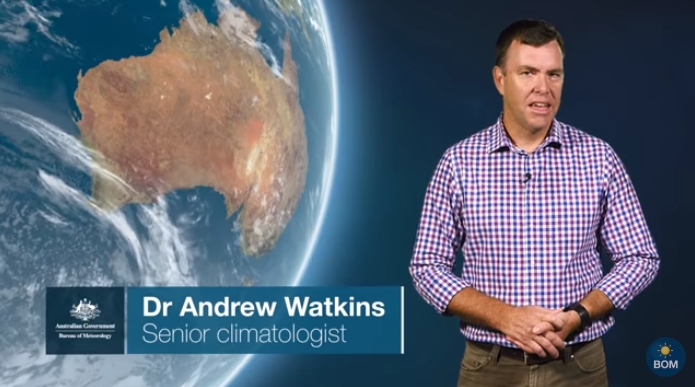
BOM head of long-range forecasting, Dr Andrew Watkins, said the Bureau has been monitoring the weakening La Niña over several weeks.
“A La Niña Watch does not change the outlook of above average rainfall for most of Australia over coming months,” Dr Watkins said.
“The Bureau’s long-range outlook remains wetter-than-average, consistent with model outlooks from other global forecast centres.
“(This is) reflecting a range of climate drivers including a developing negative Indian Ocean Dipole (IOD) and warmer-than-average waters around Australia.
“Sea surface temperatures are currently warmer-than-average for much of the Australian coastline, particularly to the north and west. This pattern is likely to increase the chance of above-average winter-spring rainfall for Australia.”
Currently, the IOD is neutral. But all climate model outlooks surveyed suggested a negative IOD was likely to form in the coming months.
Rainfall across eastern and southern Australia is typically above average in winter and spring during a negative IOD.