(Photo: Facebook)
May 26, 2014
The mayors of the Wide Bay Burnett region will meet with Deputy Prime Minister and Member for Wide Bay Warren Truss on Friday to impress on him the importance of addressing the telecommunications black spots in the region.
Newly elected chairman of the Wide Bay Burnett Regional Organisation of Councils (WBBROC), Bundaberg mayor Mal Forman, said the large number of telecommunications black spots in the region had to be addressed.
“We can’t continue to have large sections of our major highways without mobile phone coverage,” he said.
WBBROC is the peak organisation representing the six councils that make up the Wide Bay-Burnett: South Burnett, Cherbourg, North Burnett, Gympie, Fraser Coast and Bundaberg.
It commissioned an independent testing of more than 2682km of roads in the Wide Bay Burnett region earlier this year.
Cr Forman said the WBBROC report had highlighted the fact that large sections of the Burnett Highway had no mobile phone coverage.
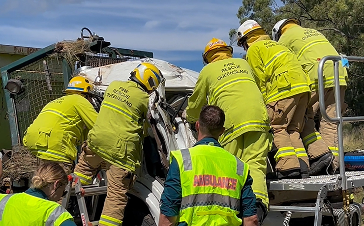
“If motorists had a break-down, or there was a major accident, it would take that much longer to get help to these locations. Better mobile phone coverage to these areas could help to save lives,” he said.
Cr Forman said the lack of mobile phone coverage in popular holiday spots such as the Bunya Mountains and Boondooma Dam was also unacceptable.
The WBBROC mayors have agreed to 10 key priority black spots in the region that must be addressed.
Individual councils are also working towards other more local priorities.
Cr Forman said he was sure that Mr Truss would give the mayors a favourable hearing.
He said WBBROC had already received a good hearing from representatives of Telstra; they would be meeting with NBN and Vodafone in early June.
The 10 top priority locations identified for WBBROC in the six council areas are:
1. Bundaberg – A radius of 15km around Goodwood (towards Childers, Bundaberg and Woodgate)
2. Bundaberg – Bucca (surrounds) and Bundaberg-Lowmead Road
3. Fraser Coast – Maryborough-Biggenden Road (from Aramara to west of the Bruce Highway)
4. Fraser Coast – The Cooloola Coast Road to the boundary with Gympie.
5. Gympie – The Burnett Highway (from North Burnett Regional Council boundary boundary to Tansey), Kilkivan Tansey Road, Wide Bay Highway (from Kilkivan to Bells Bridge)
6. Gympie – Broweena—Woolooga Road (from Broweena to the boundary with Gympie)
7. North Burnett – Burnett Highway (from Ceratodus to south of Monto)
8. North Burnett – Burnett Highway (from boundary with Gympie to Ban Ban Springs)
9. South Burnett and Cherbourg – Bunya Mountains area
10. South Burnett and Cherbourg – Boondooma Dam and surrounds
- The full report is available on the WBBROC website
Related articles:
