




August 13, 2026
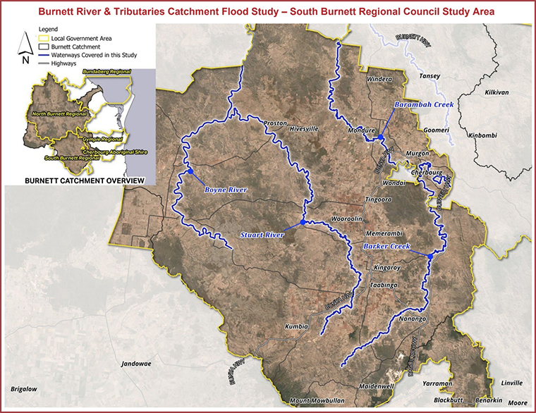
The long-running Burnett River Catchment flood study – which has examined data from the 2010, 2013 and 2022 events – has entered its final stage.
The study is a joint project of the Bundaberg, South Burnett, North Burnett, Cherbourg and Gympie councils with funding support from the Federal and State governments.
During Phase 1, members of the community were asked to share information, including photos, videos and personal stories, about the three floods.
In Phase 2, consultants prepared new flood models for the Burnett River and its tributaries, and compared these against the 2010, 2013 and 2022 floods.
The public was also called on to review these draft maps and provide feedback.
Now the flood study has moved into Phase 3, the final stage.
Final flood maps for the three events have been prepared and will be available for residents to view online from August 24.
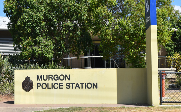
There will also be a Community Consultation session from 2:00pm to 6:00pm on Monday, August 31, at the Murgon Town Hall.
The flood study is expected to be completed in October.
It will include modelling of floods potentially larger than the 2010, 2013 and 2022 events to see how they would affect the region.
It will also support land-use planning in the lower Burnett floodplain as well as help during the development of flood risk management plans.
- Related article: Feedback Sought About Local Floods