November 23, 2021
A La Niña event – linked to wetter-than-average rainfall in parts of Australia and the possibility of more cyclones – has been confirmed in the Pacific Ocean.
Announcing the declaration on Tuesday, a Bureau of Meteorology spokesperson said La Niña was part of a cycle known as the El Niño-Southern Oscillation (ENSO), a naturally occurring shift in ocean temperatures and weather patterns along the equator in the Pacific Ocean.
During La Niña, waters in the central or eastern tropical Pacific become cooler than normal, persistent south-east to north-westerly winds strengthen in the tropical and equatorial Pacific, and clouds shift to the west, closer to Australia.
The Bureau’s Head of Operational Climate Services, Dr Andrew Watkins, said that typically during La Niña events, rainfall becomes focused in the western tropical Pacific, leading to a wetter-than-normal period for eastern, northern and central parts of Australia.
“La Niña also increases the chance of cooler-than-average daytime temperatures for large parts of Australia and can increase the number of tropical cyclones that form,” Dr Watkins said.
“La Niña is also associated with earlier first rains of the northern wet season, as we’ve observed across much of tropical Australia this year.
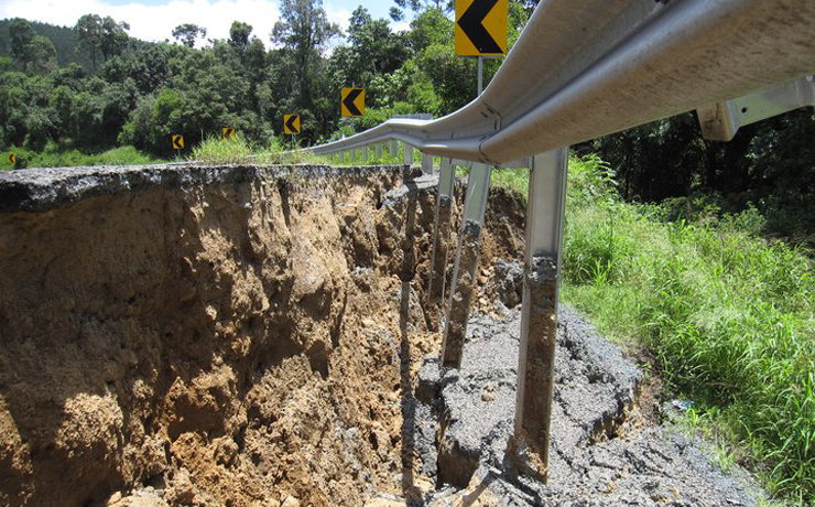
“The last significant La Niña was 2010–12. This strong event saw large impacts across Australia, including Australia’s wettest two-year periods on record, and widespread flooding.
“La Niña also occurred during spring and summer of 2020-21. Back-to-back La Niña events are not unusual, with around half of all past events returning for a second year.”
Dr Watkins said that this year’s event was not predicted to be as strong as the 2010-12 event and may be weaker than the 2020-21 event.
“Every La Niña has different impacts, as it is not the only climate driver to affect Australia at any one time. That’s why it is important not to look at it in isolation and use the Bureau’s climate outlook tools online to get a sense about likely conditions for the months ahead,” Dr Watkins said.
The Bureau previously shifted to La Niña “watch” September 14, and to La Niña “alert” on October 12.
La Niña is likely to persist until at least the end of January 2022.


