August 18, 2020
The Bureau of Meteorology says the chance of a La Niña occurring this year – meaning above-average rainfall and more tropical cyclones – has increased to 70 per cent, roughly three times the normal likelihood.
The Bureau’s Manager of Climate Operations, Dr Andrew Watkins, said La Niña typically results in above-average winter-spring rainfall particularly across eastern, central and northern regions.
“It typically also brings cooler and cloudier days, more tropical cyclones, and an earlier onset of the first rains of the wet season across the north,” Dr Watkins said.
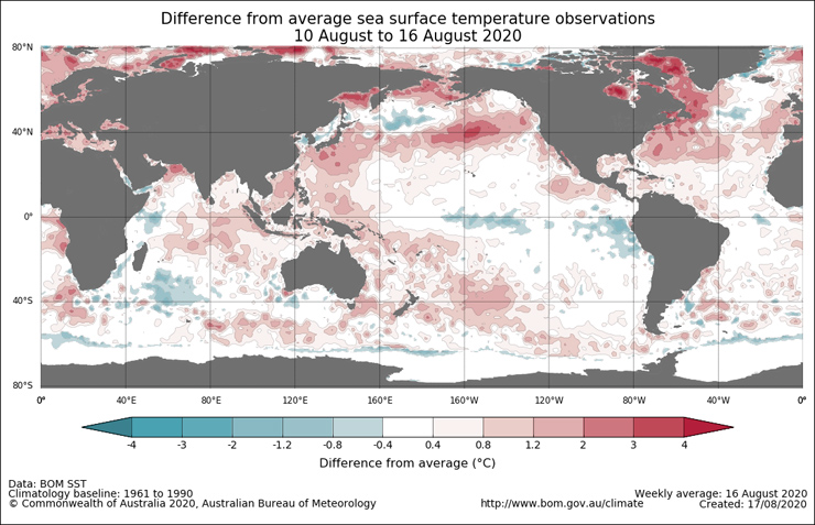
“The cooling of surface temperatures in the tropical Pacific Ocean and an increase in the strength of the Pacific Trade Winds indicates the chance of La Niña has risen.
“When these two changes occur at the same time, at this time of year, we see a greatly increased chance of a La Niña forming and persisting through spring.
“Climate models suggest that further ocean cooling and intensification of Trade Winds may occur over the coming months, which has triggered the Bureau to shift from a La Niña Watch, issued on June 26, to a La Niña Alert.”
The last significant La Niña event was in 2010-11, which was the Australia’s wettest two-year period on record beating the previous record from the La Niña years of 1973-74.
The last time the Pacific Ocean approached La Nina conditions was in late 2017, but thresholds were only briefly exceeded.
BOM says a La Niña Alert not a guarantee that La Niña will occur, rather it is an indication that most of the typical precursors of La Niña are in place.
Bureau climatologists will continue to closely monitor model outlooks and conditions in the tropical Pacific for further signs of La Niña development.