November 14, 2013
The State Government has released the second round of demand maps showing where future schools could be needed across Queensland over the next 20 years.
Education Minister John-Paul Langbroek released the latest analysis of development hot spots by the Queensland Schools Planning Commission.
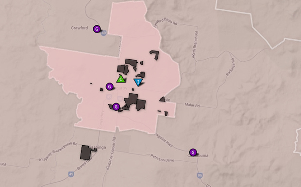
“The Commission has worked with the Queensland Government’s Statistician to present the statewide schools infrastructure demand map in a new interactive format,” Mr Langbroek said.
“A new mapping tool showing school population projections across the State is now available via the Queensland Schools Planning Commission website.”
The public can enter their address online to see where current local schools are located, what the projected change in school population will be and where proposed land developments are located for 2011-2021 and 2021-2031.
“The state, Catholic and independent sectors have worked closely together with local government and other organisations to analyse development hot spots,” Mr Langbroek said.
“Everyone’s knowledge, planning and expertise has been taken into account, so that decisions about the location of future schools and upgrades of existing ones can be based on the most accurate information possible.
“Accessible education and well-planned communities have been identified by Queenslanders as priorities for the new Queensland Plan.”
The commission’s first report and maps were released in July this year with the next release due by mid-next year.
- The mapping tool showing proposd land developments and projected school populations across the State can be viewed at the Queensland Schools Planning Commission website


