September 14, 2022
The Bureau of Meteorology has formally declared what has been tipped for several weeks … a third La Niña is now under way in the Pacific Ocean.
This means above-average rainfall over spring and early summer, especially for most of the eastern half of the Australian mainland and eastern Tasmania.
It will be the third La Niña in a row to affect eastern Australia.
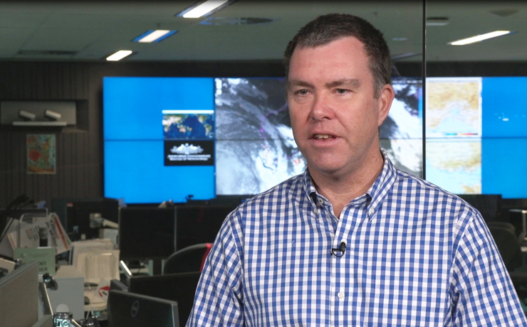
BOM head of long-range forecasts Dr Andrew Watkins said that during La Niña events, waters in the eastern tropical Pacific Ocean were cooler than normal while water in the western tropical Pacific Ocean were warmer than normal.
“This causes changes in wind, cloud and pressure patterns over the Pacific. When this change in the atmosphere combines with changes in ocean temperature, it can influence global weather patterns and climate, including increasing rainfall over large parts of Australia,” Dr Watkins said.
He said most models forecast this latest La Niña to be weak to moderate in strength, likely peaking during spring and easing during summer.
“La Niña is not the only driver influencing this wet outlook. To our west, a significant negative Indian Ocean Dipole (IOD) event is underway. We expect the IOD influence will reduce in late spring or early summer,” Dr Watkins said.
“The Southern Annular Mode (SAM) is also in a positive phase, and likely to remain positive into summer. Positive SAM during summer pushes weather systems south, which increases the chance of rain in NSW, eastern Victoria and southern parts of Queensland.”
Dr Watkins said all these climate influences were pushing Australia’s climate towards a wetter phase.
BOM’s outlook for the coming months shows a more than 80 per cent chance of above average rainfall for many parts of the eastern half of Australia.
With catchments already wet, the flood risk remains, particularly for eastern Australia.
Dr Tom Mortlock, from the UNSW Climate Change Research Centre, said “triple dip” La Niñas were relatively rare
“This has only happened three times before since records began in Australia – from 1954 to 1957, 1973 to 1976, and 1998 to 2001,” he said.
“What is even more uncommon is that we are now into our second consecutive negative IOD which is unprecedented in the historical record. Both La Niña and negative IOD spell a wetter-than-usual spring and summer for the east coast, although both are forecast to break down towards the start of the New Year.”
However, Dr Mortlock said the latest La Niña has been forecast to be a much weaker version than last year’s event.
“The concern, however, is that river catchments and dams all along the east coast are already full, and so it doesn’t need much more additional rain to cause surface water and river flooding. We also know from the historical loss record, that flood and cyclone losses along the east coast are significantly correlated with periods of La Niña,” Dr Mortlock said.
* * *
The South Burnett Local Disaster Management Group has called on the community to prepare for the La Niña now to take the pressure off emergency services.
“Getting ready for storm season isn’t as scary as it sounds. It’s as simple as making a basic plan if your pets are home alone, to check on your neighbours, what to do if you’re separated from your family members and where to go should you need to evacuate,” a spokesperson said.
“Being resilient is about more than just good preparation or effective responding. It is about accepting that extreme weather is part of living in our region, and preparing to handle it accordingly.
“We encourage motorists to follow the warnings (and) ‘if it’s flooded forget it’. As we have seen, flash flooding can occur without warning. Please re-think your travels or drive to the conditions.”
- External link: Get Ready Queensland
[UPDATED]