August 15, 2022
The Bureau of Meteorology has issued a “La Niña Alert”, saying the chance of La Niña returning in Spring was now triple the normal risk.
BOM Senior Meteorologist Jonathan How said BOM’s three-month climate outlook showed a high chance of above-average rainfall for most of the eastern two-thirds of the Australian mainland between September and November.
The outlook reflected a range of climate drivers including a negative Indian Ocean Dipole event and warmer-than-average waters around Australia.
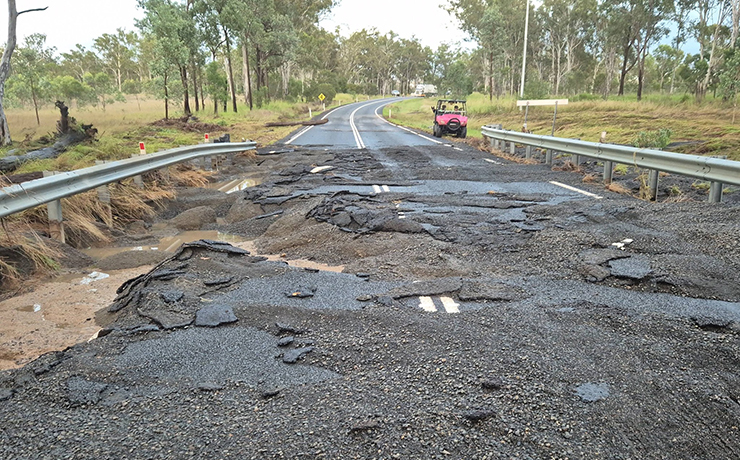
There was an elevated flood risk for eastern Australia due to the wet soils, high rivers, full dams and the outlook for above-average rainfall.
Some third-party sources and media outlets have suggested the east coast of Australia is already experiencing a third La Niña. However, this does not reflect the complexity of Australia’s climate and was not entirely accurate.
BOM’s El Niño-Southern Oscillation Outlook, which is monitored by specialist climatologists and is underpinned by analysis of seven climate models, is at La Niña Alert status. This means there is a 70 per cent chance of La Niña returning this spring.
The Bureau is advising of very high chances of wet conditions over eastern Australia for the next three months.
Should a La Niña event be established in the Pacific Ocean, the wet conditions will persist into summer.
“We encourage communities to keep up to date with official forecasts and warnings on the Bureau’s website and BOM Weather app and follow the advice of emergency services,” Senior Meteorologist Jonathan How said.
* * *
La Niña Alert
La Niña refers to changes in sea surface temperatures in the tropical Pacific Ocean, with waters in the eastern Pacific being cooler than normal, and waters in the western tropical Pacific being warmer than normal.
Trade winds strengthen, increasing the water moisture in the air which usually brings rainfall to eastern and central Australia and a wetter start to the northern wet season.
Any three of the following criteria need to be satisfied for a La Niña Alert:
- Sea surface temperature: A clear cooling trend has been observed in the NINO3 or NINO3.4 regions of the Pacific Ocean during the past three to six months.
- Winds: Trade winds have been stronger than average in the western or central equatorial Pacific Ocean during any two of the last three months.
- SOI: The two-month average SOI is +7 or higher.
- Models: A majority of surveyed climate models show sustained cooling to at least 0.8 °C below average in the NINO3 or NINO3.4 regions of the Pacific Ocean by the late winter or spring.
When these criteria have been met in the past, a La Niña event has developed about 70 per cent of the time.


