December 2, 2021
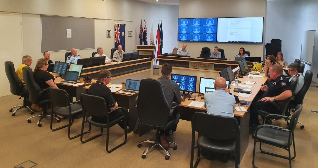
South Burnett Regional Council has advised that Ficks Crossing is closed due to local flooding.
Hazardous debris is causing concerns for public safety.
A Council spokesperson said Council crews were working hard to mitigate the risks at the site and anticipates it to reopen in one week.
* * *
The South Burnett Local Disaster Management Group released an updated list of major roads affected by local flooding and damage in the South Burnett.
Current closures of major roads at 1:30pm on Thursday are:
- Burnett Highway, Nanango to Goomeri (Reedy Creek)
- Chinchilla-Wondai Road, Wilkesdale to Mundubbera Road (Boyne River)
- Proston-Boondooma Road, Brigooda to Proston (Stuart River)
- Kingaroy-Burrandowan Road, Magees Road to Ironpot Road (Boyne River)
- Maidenwell-Bunya Mountains Road, Kingaroy-Cooyar Road to the Bunya Mountains
- Memerambi-Gordonbrook Road, Bunya Highway to Wilsons Road
- Kingaroy-Barkers Creek Road, Wattle Camp to Burnett Highway (Barkers Creek)
South Burnett Disaster Dashboard is continuing to be updated by Council and Queensland Police as information is provided and conditions change.
More toads are expected to reopen on Friday following further inspection and receding waters.
External links:
- South Burnett Disaster Dashboard (SBRC region only)
- Queensland Traffic (whole State)
- Queensland Traffic – Darling Downs & South-West Queensland (Twitter)
- Queensland Traffic – Mackay, Whitsunday, Fitzroy & Wide Bay Burnett (Twitter)
Download the free Queensland Traffic mobile app:
[Originally published as “Roads Closed List Updated”]







If the roads don’t open, then we can just hop on a toad then.