February 3, 2014
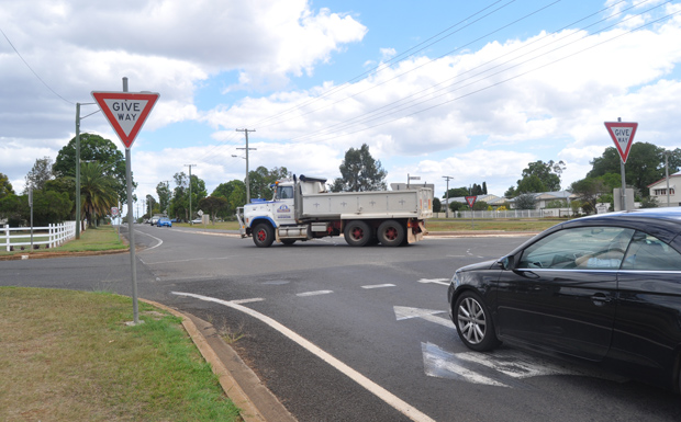
The top of Fisher Street and the corner of Walter Road and Knight Street … they may be Kingaroy’s most confusing intersections for motorists but they’re not the town’s most dangerous.
southburnett.com.au decided to approach Kingaroy Police for the official word on the two intersections after contradictory discussions about “right of way” on social media.
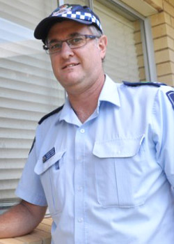
Officer-in-charge of Kingaroy Police, Senior Sergeant Duane Frank, was happy to explain the two intersections but he stressed that despite the obvious confusion they caused drivers neither were identified as “high crash zones”.
The most dangerous intersections in Kingaroy, says Snr Sgt Frank, are the corner of Markwell and Kingaroy streets (which has been earmarked for traffic lights) and the Haly Street T-intersection with Glendon Street outside the Commercial Hotel.
“The BP corner (Markwell St) is a statistically high crash area but fortunately the crashes occur at low speed because of the congestion,” Snr Sgt Frank said.
“The Glendon Street intersection is difficult because there is traffic turning across traffic, visibility can be poor and the camber of the road.
“Drivers turning right out of Glendon Street are looking left and then suddenly they are on the pedestrian crossing.”
The school zone outside Taabinga State School along Walter Road (D’Aguilar Highway) is also a concern to police because of the high volume of traffic.
* * *
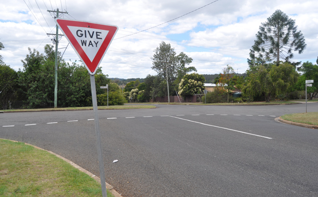
Fisher Street / Moore Street Intersection
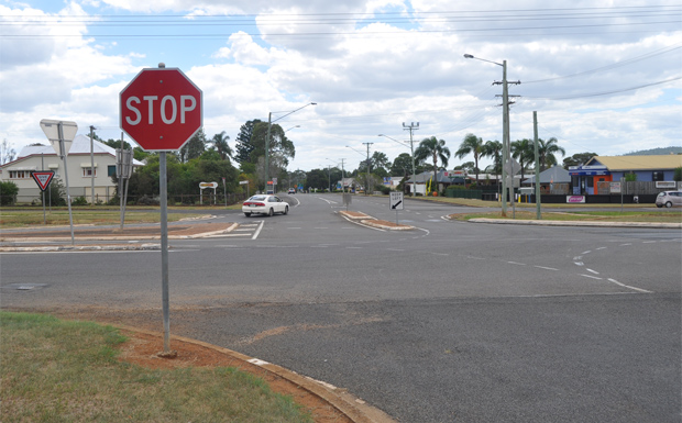
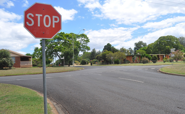
What makes this intersection so confusing is that Fisher Street does not cross Moore Street in direct alignment.
The intersection actually consists of two separate T-intersections and must be treated as such by drivers.
A Give Way sign is located on the southern side and a Stop Sign on the northern … so which driver would give way if there was a car at each sign?
What happens in practice is often a “Mexican stand-off” with neither vehicle moving.
But according to Snr Sgt Frank, whichever vehicle enters the intersection first would have the right of way.
If both arrived at the signs at exactly the same time, the driver at the Give Way sign would probably enter the intersection first as he does not have to make a complete stop, whereas the driver at the Stop Sign must stop completely.
* * *
Walter Road / Somerset Street / Knight Street Intersection
This intersection is made more difficult because of the legacy of the old railway lines.
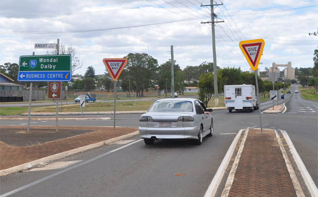
Drivers in Knight Street have no sign and can continue unimpeded, turning right into Walter Road. Snr Sgt Frank believes the road designers chose this layout to stop traffic backing up across the rail line when it was operational.
There are Give Way signs heading south on Walter Road into Somerset Street, and heading north from Somerset Street into Walter Road.
There is a Stop Sign on Knight Street heading west.
Confusion occurs when a driver finds himself stopped by traffic at either of the Give Way signs and there is also a vehicle at the Stop Sign. Who moves first? Who has the right of way?
In this case, Snr Sgt Frank said the drivers must “forget the signs”. With all vehicles stopped, it becomes a simple case of “give way to your right”.
So the driver of a vehicle stopped at the Give Way sign in Walter Road would give way to the vehicle on his right at the Stop Sign in Knight Street.
Likewise, a vehicle stopped at the Stop Sign in Knight Street would give way to a vehicle stopped on his right at the Give Way sign in Somerset Street.
