March 3, 2013
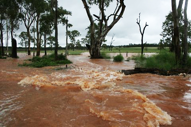
When it rains in the South Burnett, there’s a list of places that we all know will get flooded: Barkers Creek, Krebs Bridge, Reedy Creek, the Stuart and Boyne Rivers … but Wooroolin?
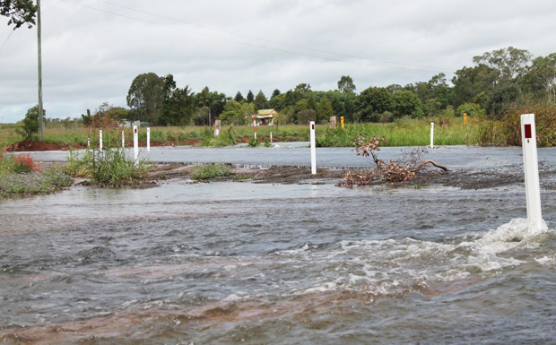
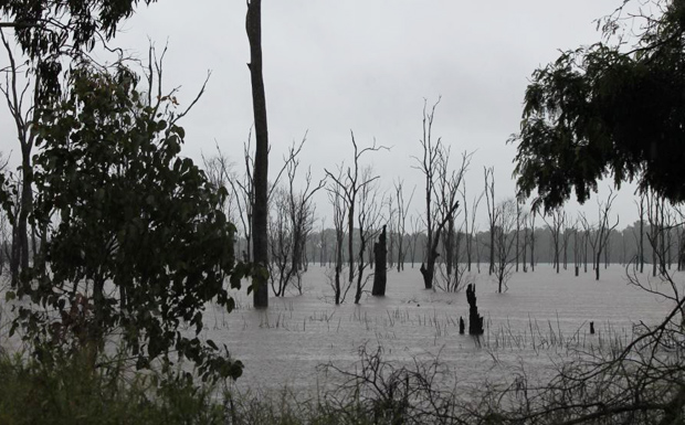
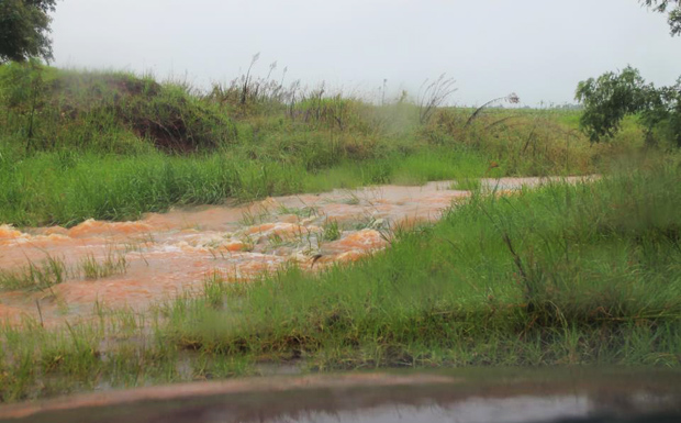
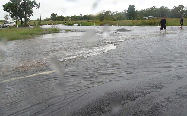
The surprise from this weekend’s “2013 Floods Mk3” is the overflow of the Wooroolin Wetlands onto the Bunya Highway just north of the township, blocking the highway and testing motorists’ patience and tempers.
As we reported last week, no one can remember the swamp being this full.
Local resident Ken Dalton predicted that just one downpour would push it over the edge … and he was right!
Related article
The following photos are by local Wooroolin resident Katrina O’Shannessy-Quirke:
* * *
- Bjelke-Petersen Dam – 1.8m above spillway at 11:35am
- Boondooma Dam – 2.34m above spillway and steady at 11:00am
- South Burnett road closures (at 5:00pm March 3) 294kb PDF
- Flood levels for the Burnett River
- Main Roads Traffic and Travel Information
* * *
Keep in touch with our live Facebook feed from South Burnett Regional Council:
* * *
Watch our weather on the Mt Kanigan radar map
(Live feed from BOM. Don’t forget to refresh the page):


