December 11, 2017
The Bureau of Meteorology (BOM) has upgraded its ENSO Outlook to forecast a La Niña event this summer, but predicts it will be weak and short-lived.
On December 5, BOM said signs of a La Niña in the equatorial Pacific increased during spring.
The Bureau said the central to eastern tropical Pacific Ocean had cooled steadily since winter, and is now at La Niña thresholds (ie 0.8°C below average).
Atmospheric indicators including the Southern Oscillation Index, trade winds and clouds also showed clear La Niña patterns.
But in order for 2017–18 to be classed as a La Niña year, the event needs to last for at least three months.
“Climate models surveyed by the Bureau suggest that while this event is likely to persist over the southern summer, it will be weaker than the strong La Niña of 2010–12 and should dissipate by early autumn,” a Bureau spokesperson said.
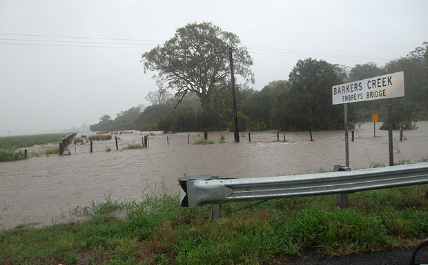
La Niña typically brings above average rainfall to eastern Australia during late spring and summer.
However, sea surface temperature patterns in the Indian Ocean and closer to Australia are not typical of a La Niña event, reducing the likelihood of widespread above average summer rainfall.
La Niña events can also increase the chance of prolonged warm spells for southeast Australia.
- External link: La Niña In Australia (PDF)


